There’s a secret piece of history in the Mackinaw Straits! Join Chuck and I as we explore a boulder. Yes, you know I love to collect rocks, but this boulder couldn’t fit in anyone’s pocket. This serious stone has made a mark in history as an aid to navigation. But it’s not in our history text books. Why? Let’s find out together!
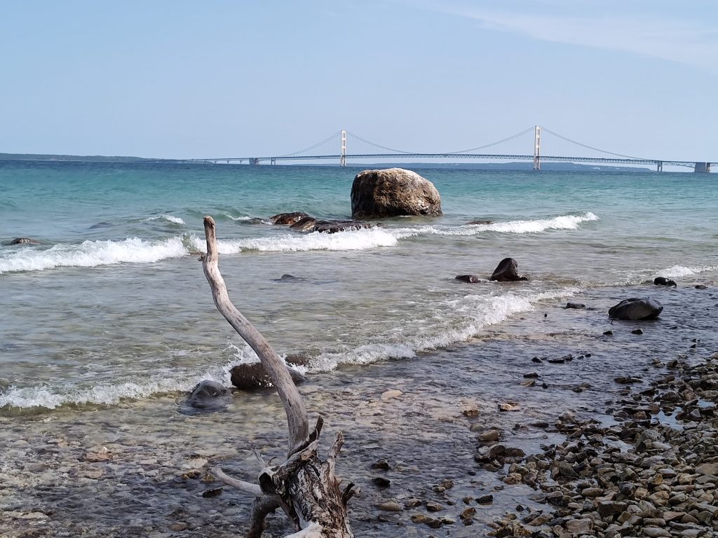
McGulpin Rock, which is more than five times larger than Plymouth Rock, stands proudly in the Straits of Mackinaw. It has helped travelers navigate their paths for centuries.
I hadn’t known about this remarkable landmark until my husband mentioned that we were stopping to see McGulpin Rock. How could something so important be missed by our history books? I wish I would have known about this during my teaching career. It would have been amazing to share this nearly secret knowledge with my elementary students!
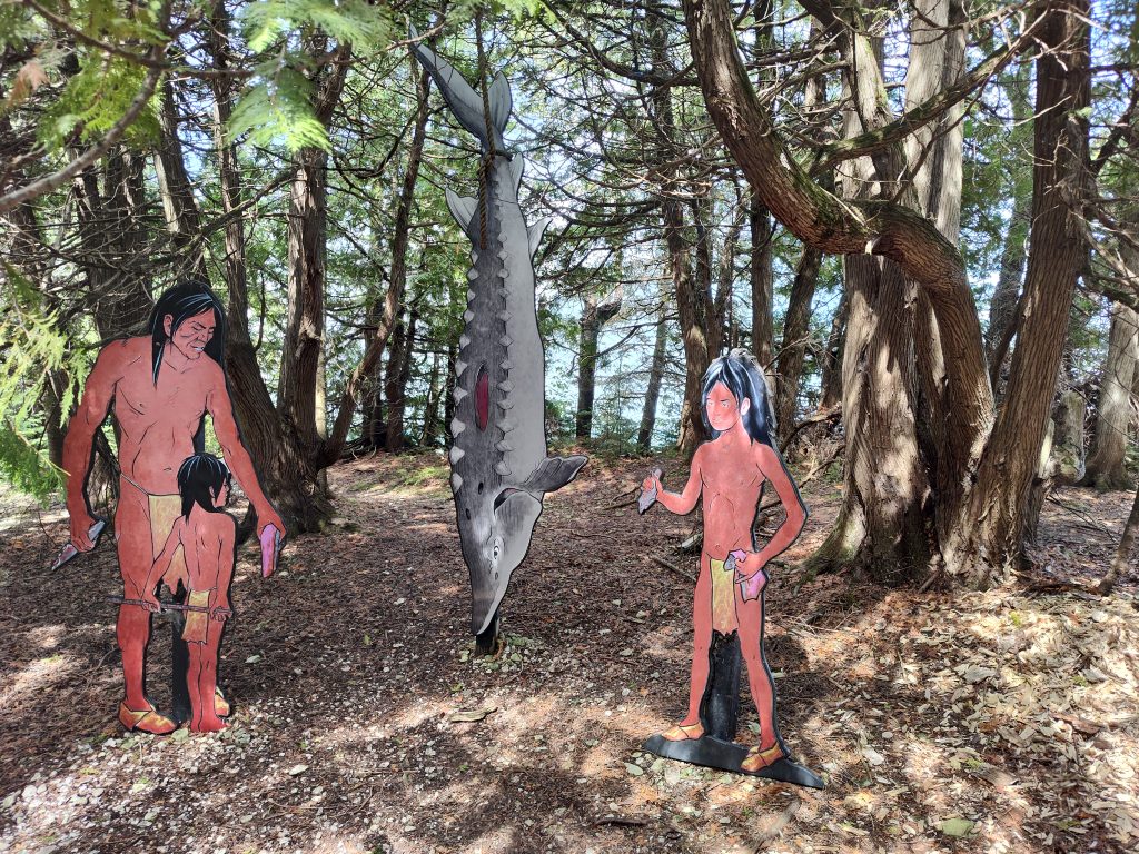
Natives
Natives have used McGulpin Rock as a tool to measure the water levels in The Straits of Mackinaw as well as a marker for navigating the water route by canoe. This centuries old instrument has served generations.
Etienne Brule
In 1615 Etienne Brule, a French explorer, who was believed to be the first European to cross these waters, noted this 54 ton boulder in his report to Quebec. This had occurred five years before the Pilgrims had landed on the east coast at Plymouth Rock, which weighs a mere five tons.
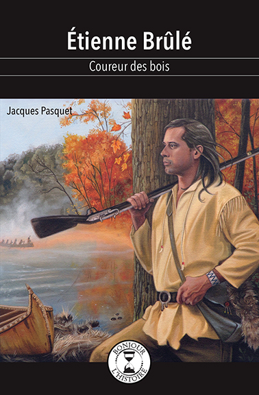
Etienne Brule had been an important figure in creating the very first European settlement in North America. It had been located in Midland, Ontario. Stay tuned for more articles and videos from Canada as we continue learning about The Great Lakes region.
McGulpin Rock
Why hasn’t McGulpin Rock been mentioned in our history text books?

Photo Credit: Emmett County
Historical Commission
Well, according to historian, Sandy Planisek, she believes that since McGulpin Rock had been recorded by French explorers and not a part of the English notes, this large boulder had been overlooked. The English had been responsible for recording the events of the thirteen colonies.
The Water Was Cold!
We headed into the water to get a closer look-see at McGulpin Rock. The water was frigidly cold which brought my senses to full-alert status. Splashing rolls of water repeatedly doused my swimwear as I reached the marker. Putting my hand of the boulder I felt the secret whispers of the waves which were telling ancient stories of events and explorers. It gave me a chill! (Or possibly standing in the freezing lake played a part in my reaction?)
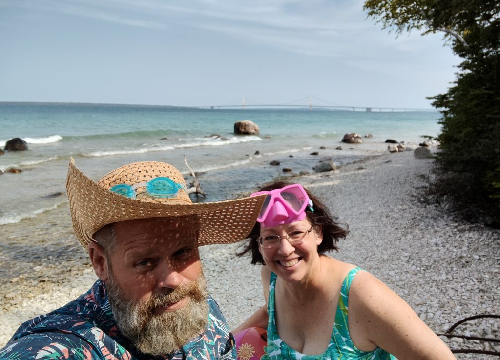
This short trip left me in awe of the rare history surrounding us. Enjoy the YouTube video of our visit in the link below!
Related Links:
Here’s our YouTube video of our caper to McGulpin Rock.
Restless Viking merchandise is available!
Resources:
Discover Lake Michigan Destinations website
McGulpin Point Lighthouse website
Etienne Brule Edition de Lisatis website
Emmett County Historical Commission News and Highlights article
For more information about historian Sandy Planisek click on the U of M website.
