The website CalTopo has been a powerful, versitle and useful mapping program/website for a number of years. SAR responders will also recognize the usefulness of “SARTopo”. Those who have used Caltopo will know that its usefulness ends when you close your laptop or desktop. . . that is until last week, when Matt Jacobs (founder of Caltopo) released the “Beta” version available for Android (Sorry iOS users, it will probably be April for release on that platform.)
There was actually a lot of speculation since 2017 that Caltopo had gone from “Hobby to Commercial”, somehow meaning a lesser product in pursuit of profits – I guess. Matt Jacobs actually founded Caltopo as SARTopo for free use by Search and Rescue Teams. They are a very small operation with a very focused (and excellent) product. There was concern that Caltopo was no longer “innovating” due to the long silence regarding program development. Well. . . you know how bloggers like to “speculate”, and again, they were wrong. As it turns out, that 18 month silence was actually a long awaited “Secret” project. A mobile app for Caltopo.
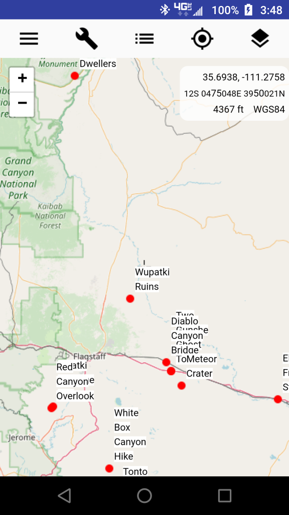
Caltopo has been my tool of choice for planning, research and investigation of places on this earth. It provides a number of navigational tools, layers and features that make it a very powerful application.
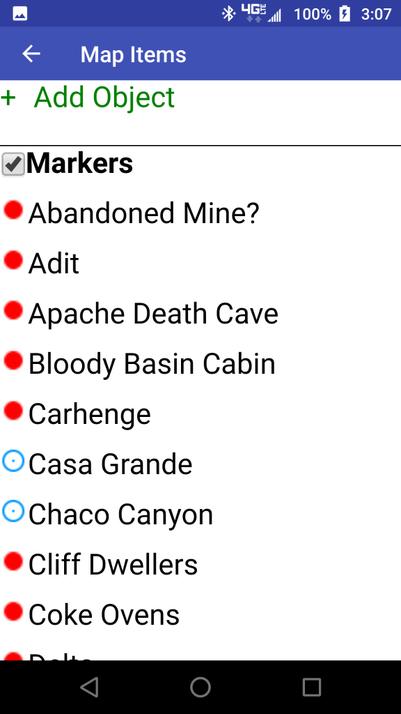
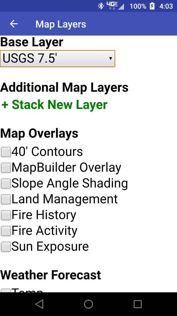
It has come a long way since I first starting using it, as Matt added regular and useful improvements to the user-interface and imagery database. It has a number of available layers and the ability to add custom layers. The “measure, plot, bearing, and profile” features are indispensable for everything from hiking to open water route planning and even aviation planning. The ability to share maps, embed maps, and utilize different coordinate systems are only a few of the terrific features available. There simply isn’t an online resource that matches it. And get this – it is free – for the casual user. If you want more features and flexibility, then paying the $20 – $50 per year subscription fee will get you almost everything you need.
With the mobile Caltopo App you can now have the same powerful features in the field. But, at this point there are some things to keep in mind.
Matt will readily admit that the app has a number of bugs. Officially (as of this writing), the app is “unreleased” and in its Beta stage. Which means that downloaders are also app testers who find and uncover bugs through regular use.
From the Caltopo blog, Matt Jacobs writes – “The app is still in development, and this is a beta test. There are probably some major bugs related to specific platforms or android versions that we haven’t caught yet, and some obvious functionality is missing, such as the ability to place a marker at your current location. We’re releasing this not because it’s a finished product, but because we’re at the point where we need testing and feedback from a broader audience.”
So. . . if you are an explorer or adventurer who often ventures “off the beaten path” you might want to check out Caltopo. If you are an adventurer who already uses Caltopo, then this is probably exciting for you. Based on my past experience, Matt will ensure that the mobile app is full of useful features that far exceeds other apps, at least for those that expect more.
And. . . please consider getting a subscription, Caltopo is a very powerful program designed by a small team. They deserve your support.
I’d be interested in hearing any thoughts out there.

One thought on “Caltopo Mobile – Beta”
This app sounds like fun.!